I took my first trip to the Maah Daah Hey Trail back in the spring of 99'. I didn't know until last summer that was about the time it officially opened,as I glanced through memorabilia displayed at the bike shop in Medora. At that time I was naive enough to think it had been there forever. My wife's friend Troy told us about it and the three of us were off to ride it over memorial weekend. The three of us made another trip the following year, and on the 3rd or 4th trip my friend Chuck and I would ride the whole thing in a day, virtually unsupported, before the MDH 100 was a thing. It's been a solid 15 years since I had been there,so going back with my BFF Vandy to bike-pack from the north end to Medora was going to be an awesome homecoming of sorts.
 |
| break time |
 |
| petrified wood |
 |
| typical |
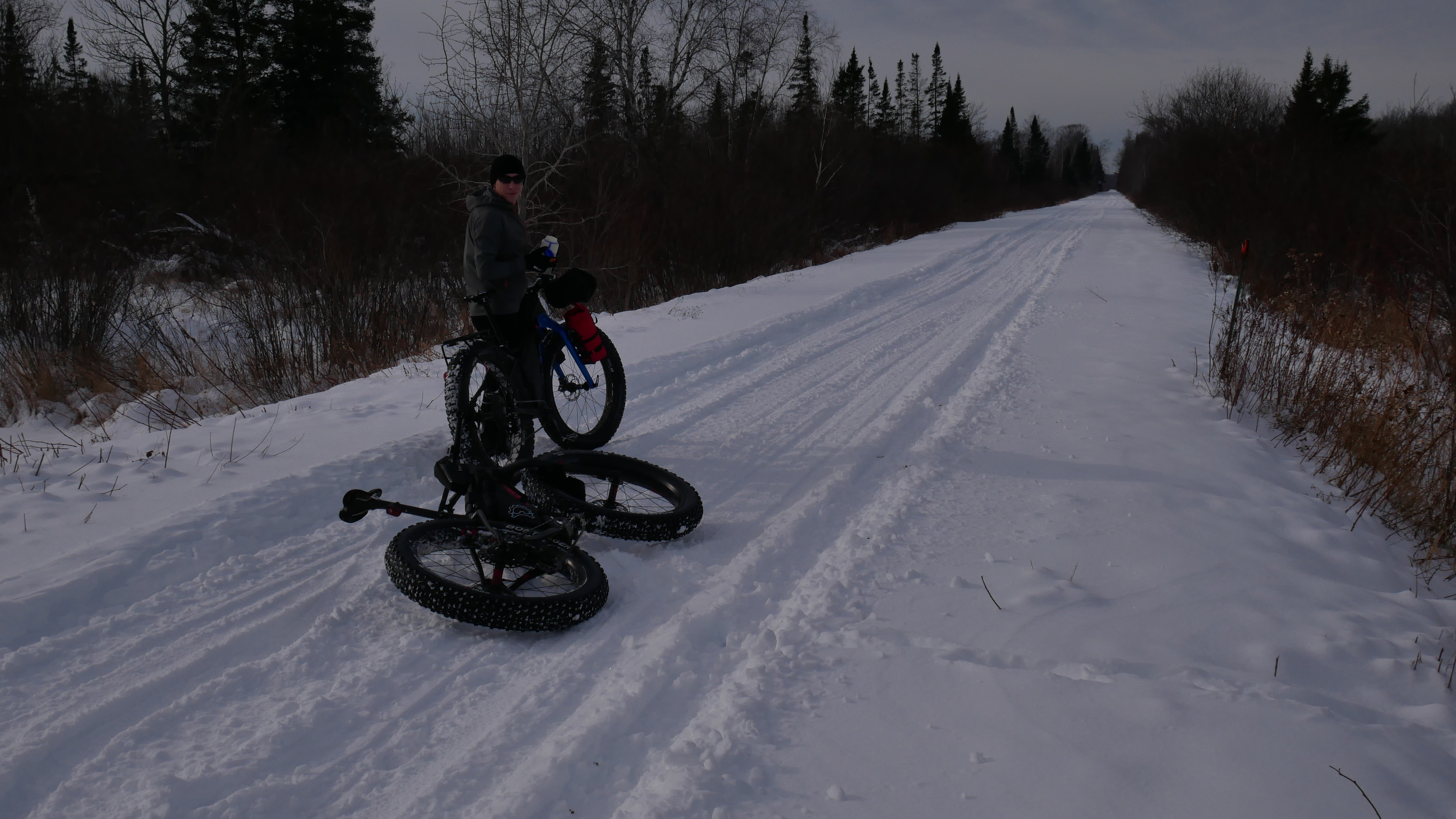
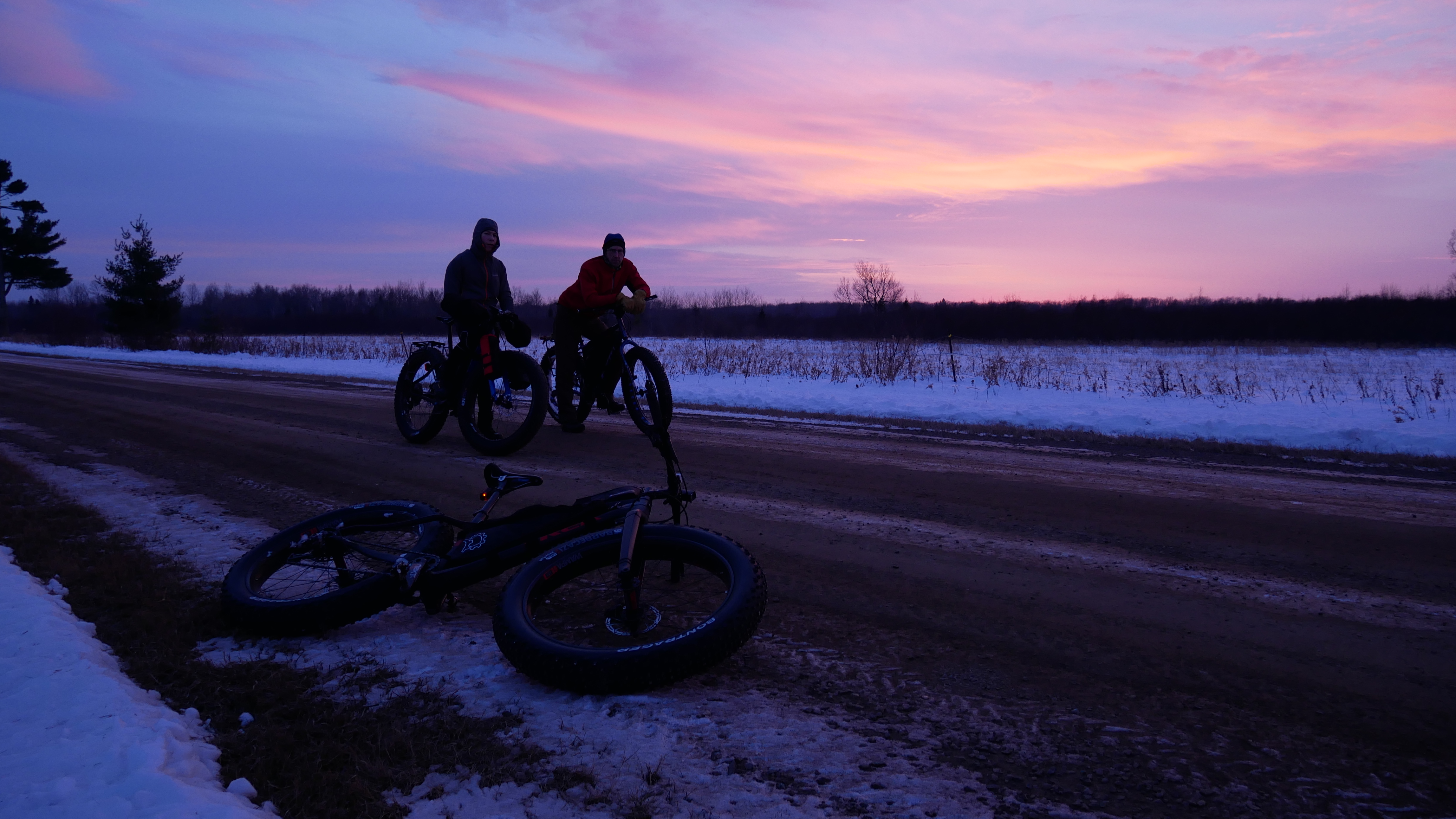
The two of us set out for our three day ride on the longest day of the year, June 21st. Daylight would be on our side for our 40ish miles per day with heavy bikes on beautiful and challenging single track. For the most part the weather was good, with the exception of some mid-day bursts of rain to make things interesting. Day one was from the CCC camp at the northern end of the trail to Magpie Campground. Having to go around the closed part of Theodore Roosevelt National Park wilderness on gravel roads was a real bore, but necessary for those on bikes. Once back on the trail it was all good. A very short burst of rain came in the early afternoon and with it, wheel clogging mud. We pushed on, cleaned wheels with sticks several times and were back riding about an hour. With the long days we arrived at camp well before dark and had time to relax, meet some other riders doing the same route and have a nice camp fire before going to sleep.
 |
| mud...this shit sticks to everything |
 |
| first night |
 |
| from the helm |
Day two was much the same as day one, an incredible ride through varying degrees of topography. One minute it's rolling prairie with nary a tree in site,the next is rugged descents down crumbing cliff-like clay typical of the badlands. On comes the steep climbs with thick jungle-like vegetation and trees blocking all views accept the one just before you leading to the next open vista. This goes on for hours and never really gets old. Day two was tough, and ended with a pretty good rain storm, thankfully the last few miles into camp were on trails covered in red scoria, keeping the wheels free of mud. Rolling into Wannagan I headed straight for the rest room, the only shelter anywhere in site, to wait out the rain. It didn't last long and we were able to set up tents and eat dinner sans rain, before enjoying a nice, but chilly sunset.
 |
| just finishing Devils Pass |
 |
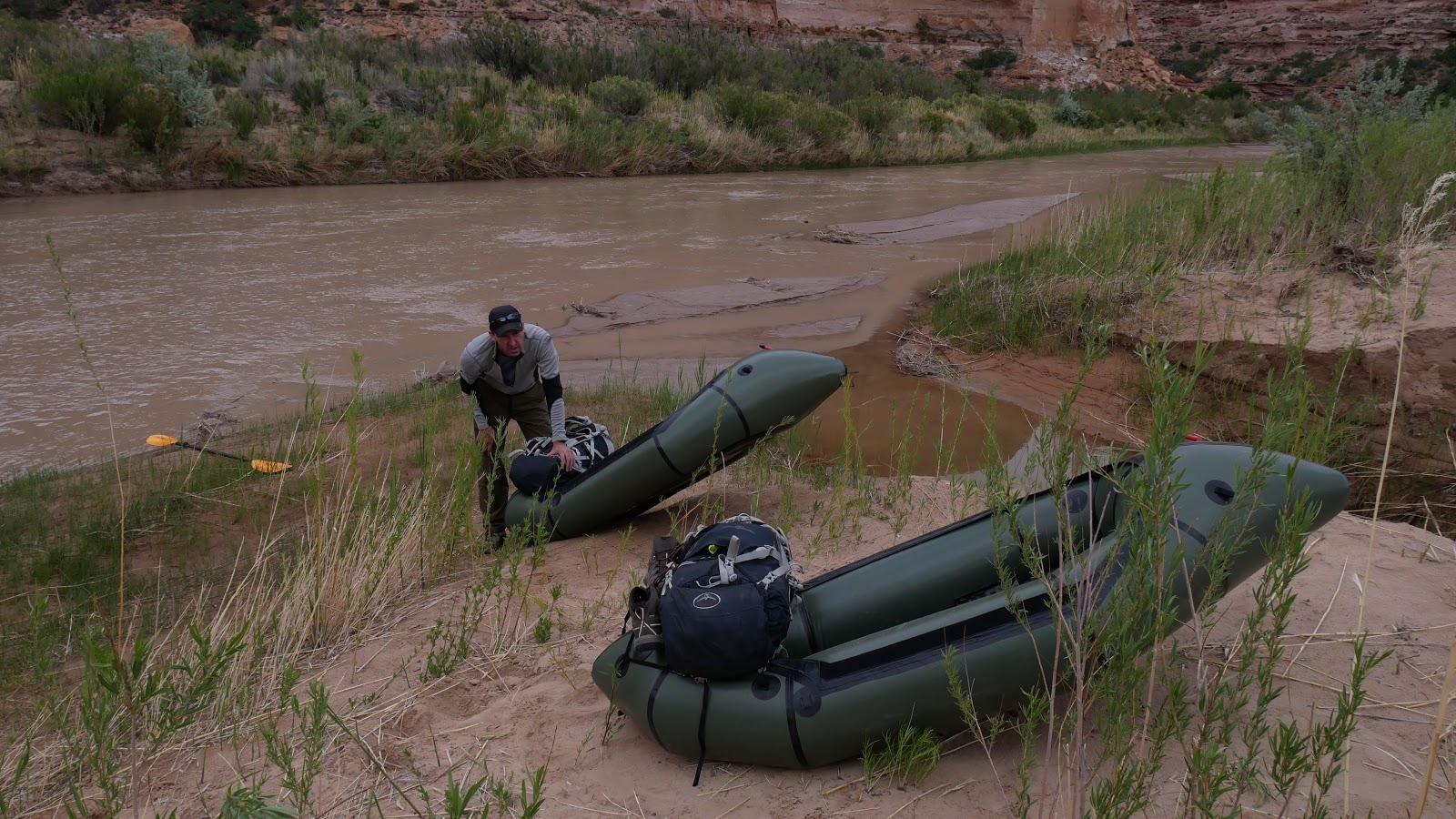
| this part is super awesome....crossing Little Missouri river.....I going to paddle this some time |
 |
| lots of gates like this to pass through |
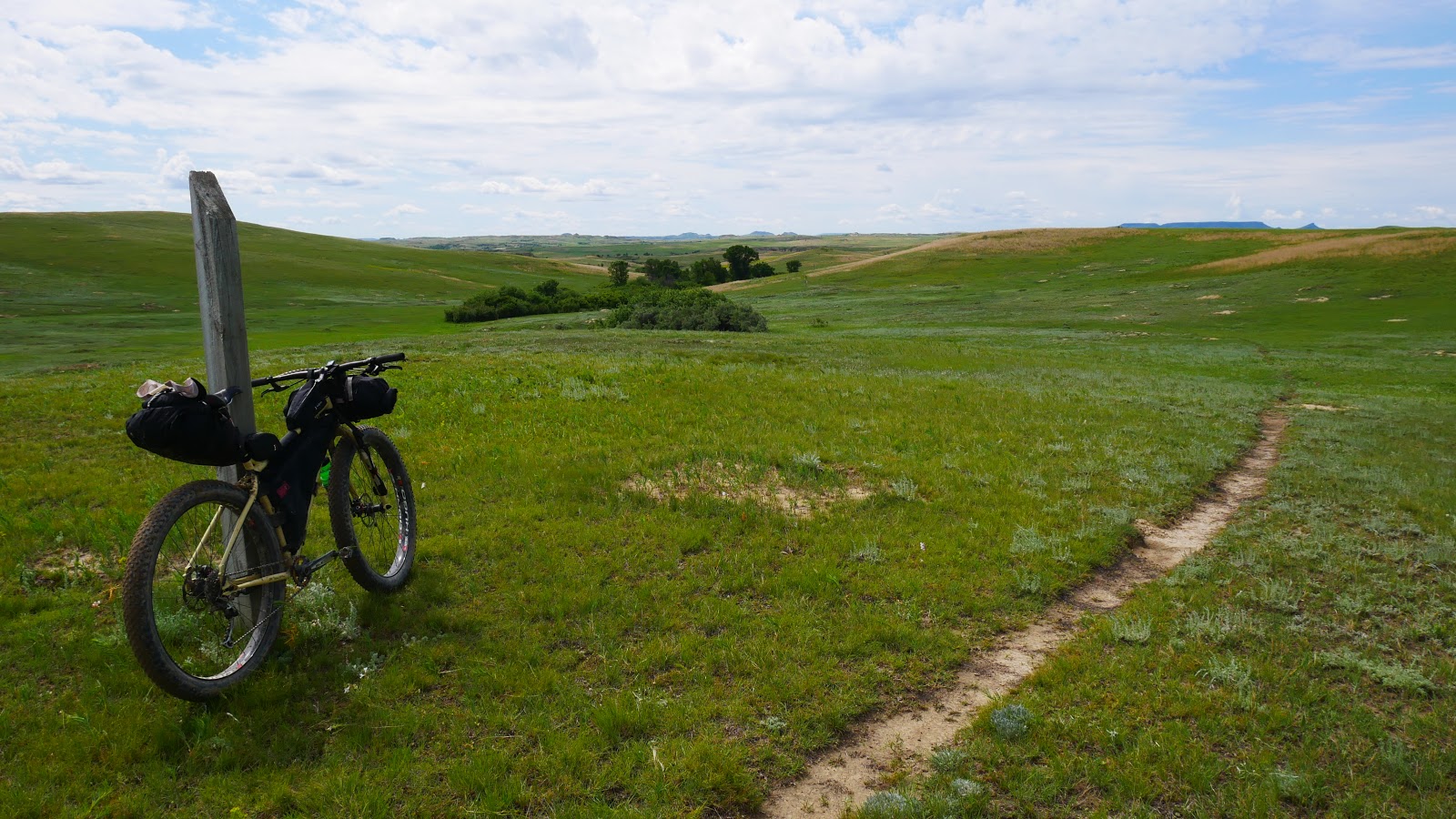
Day three would be finishing up in Medora. Again we would have to avoid the National Park and it's wilderness restrictions, accept this time we could continue on single track of the Buffalo Gap trail. The Maah Daah Hey actual was incredible, but for some reason the Buffalo Gap really grabbed me in a couple sections. Wide open prairie with not a sign of human disturbance accept the one ribbon of dirt you are following, a partially clouded blue sky as big as can be, with a light breeze rustling the grass is the kind of place you consciously etch into your mind to enjoy at all later dates as a bench mark for your own personal nirvana. Yeah it was that good.
 |
| Second and last crossing of Little Mo |
As I rolled the last miles toward the finish I was already reflecting back at how awesome the ride was. This didn't last long, just as I took my selfie by the final trail marker, a massive rain cloud was about to pummel me. I rode the last few paved miles to town in sideways rain coming down in sheets. Once in town, I changed clothes, ate a massive buffalo burger with my BFF and headed home.
 |
| There are like 50 more miles of trail to do after this point but our shuttle had us end in Medora |
D Rider .........................................................out